A lower estimate buys a different program
NOAA’s next-generation weather-satellite program is projected to cost $6.6 billion less than its original baseline. But the government’s own tables show that the reduction accompanies a materially smaller and different observing system—not a demonstrated ability to deliver the original system for less money.
What’s the Scoop With Broach compared the December 2022, August 2025 and April 2026 baselines in Table 2 of the Government Accountability Office’s GeoXO audit, then traced their relationship to its launch milestones, contingency assessment and agency response. The report is dated September 16 and was publicly released October 16, 2026. The original contribution is that cross-table reconciliation: the budget, instrument configuration and backup timetable describe different dimensions of the same restructuring.
The original projected lifecycle cost was $19.6 billion for six satellites. The current expectation is $13 billion for four. Subtracting the two produces $6.6 billion, or 33.7% of the original projection. The satellite count falls by one-third. Planned instrument types fall from five to two. Those separate changes cannot be combined into a percentage loss of forecasting capability: instruments perform different functions, and the revised design also expands one important capability.
Nor is $6.6 billion an audited amount of money already saved. GAO found that the program had not completed an independent estimate for the updated baseline and said the reasonableness of the $13 billion expectation remained unclear. Table 2 says the integrated master schedule and cost estimate are planned for update by December 2026.
The intermediate $12 billion plan is not the current baseline
In August 2025, Commerce directed a reduction to $12 billion. In April 2026 it added approximately $1 billion for an expanded payload scope and accelerated schedule. Continuing to report the earlier $7.6 billion reduction would overstate the current projected cut by about $1 billion.
The current baseline removes the atmospheric-composition, ocean-color and lightning-mapper instrument types. It retains an infrared imager and a hyperspectral infrared sounder. The first satellite is expected to carry a legacy Advanced Baseline Imager from the current GOES generation; later satellites are expected to carry the new imager.
The sounder is important counterevidence to any claim that every part of the program is simply being reduced. Originally assigned to the two proposed Central satellites, it is now planned for all four remaining satellites, with development accelerated for the first launch. It can provide continuous observations of atmospheric temperature and moisture from geostationary orbit, rather than the twice-daily observations available from polar-orbiting sounders. GAO nevertheless reports development risk, and a fourth sounder would require a contract modification. The existing contract covered three.
The first launch stays fixed while the implementation milestone moves
Table 3 retains 2032 for the first launch, while moving the key decision point authorizing implementation and baselining the official schedule and budget from the first quarter of 2027 to the third quarter of 2028. These dates were subject to change as the program updated its restructuring schedule. The comparison does not prove a launch delay; it shows that a major preceding milestone moved substantially while the launch year did not.
The backup problem exists even if that launch occurs on time. GAO says GOES-16, the current operational spare, is projected to reach the end of its life in October 2032. The first GeoXO satellite is not expected to become operational until early 2033, after launch and several months of testing. NOAA could consequently have several months without the operational spare required by its policy.
That is not a forecast of a total weather-data blackout. GOES-18 and GOES-19 could continue operating during the interval. The audit’s warning is conditional: an impairment of either operational satellite without an available spare would create a gap in geostationary weather data. The records do not establish the probability of such a failure or calculate resulting casualties or losses.
Existing controls—and the repair timetable—matter
GAO credited the program’s requirements-management guidance with incorporating all five selected leading practices. Its contingency policy fully incorporated eight of eleven practices, partially incorporated two and omitted an impact analysis of likely failure scenarios. The partial findings included insufficiently specific procedures for deploying a call-up spare. Thus, existing planning is substantial, but it does not settle how every failure would be handled.
Officials told GAO in April that a revised data-gap policy was expected at the mission-readiness review in 2032, less than a year before the expected launch. GAO warned that a late policy revision could leave insufficient time to analyze impacts and alternatives if development slips. NOAA said costs, benefits and impacts were considered at the enterprise level and that a GeoXO-specific cost-benefit analysis was not necessary because the program follows the established continuity framework.
NOAA concurred with all three recommendations: improve documentation of the updated cost estimate, strengthen contingency planning and produce comprehensive technology-readiness reports for each instrument. All three remained open on GAO’s public recommendation page when checked October 19. NASA provided no technical comments, according to the audit.
This is document analysis, not an independent engineering test or a review of confidential procurement files. The calculations use published baseline expectations; they do not establish actual future spending, contract completion after the audit, or a realized failure of weather coverage. The accountability test is whether the updated estimate and operating contingencies explain what the smaller system will deliver—and how continuity will be protected during the documented backup interval.
Sources and further reading
GAO — GeoXO report and current recommendation status, checked October 19, 2026 ↗
GAO — accessible full GeoXO audit ↗
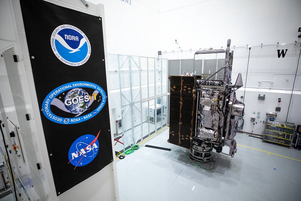
Photograph source and attribution: NASA/Ben Smegelsky ↗
Photograph reuse terms: NASA media-use permission for factual news use; U.S. government image ↗