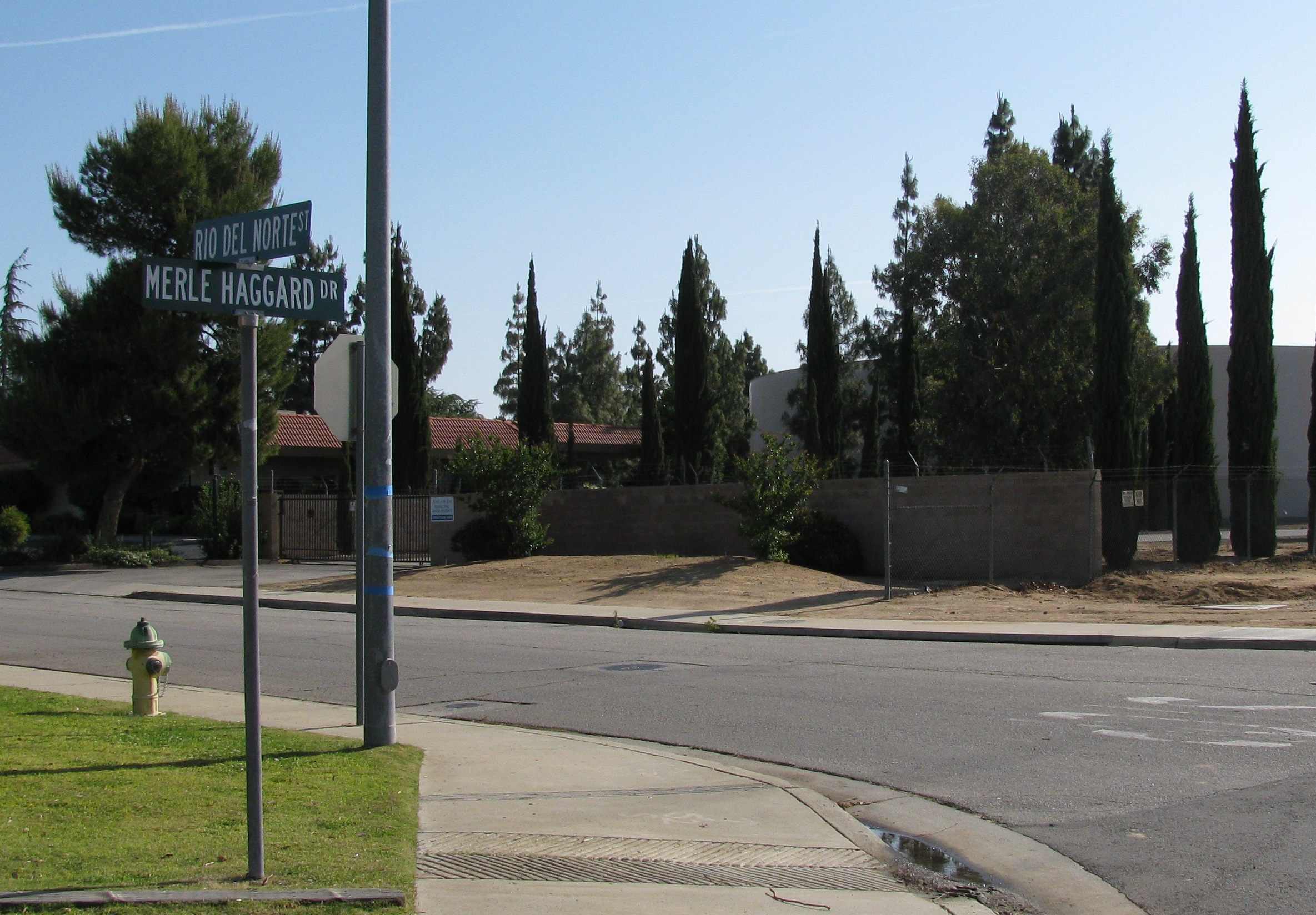
Kern County’s revised environmental review of the proposed Airport Commerce Center includes additional truck routes after state air regulators challenged the original health-risk analysis.
A comparison of the California Air Resources Board’s April 8 comment letter and the county’s August response shows that the county addressed an omitted-route concern with additional analysis. The remaining questions concern which routing requirements will become binding and how they will be enforced.
What state regulators flagged
CARB’s April letter said the draft assessment omitted a route connecting Airport Drive with James Road and State Route 65. The agency also raised concerns about trucks traveling south on Airport Drive or through residential streets, including McCray Street. It urged the county to restrict heavy-duty trucks to routes evaluated in the assessment.
The proposal involves approximately 1.5 million square feet of industrial buildings on about 110 acres in unincorporated Oildale. CARB’s letter described warehousing, cold storage and manufacturing uses, with associated restaurants. It cited an estimated 824 daily heavy-duty truck trips and residences within 400 feet of the site’s eastern boundary.
CARB also identified existing pollution sources near the community, including aircraft, industrial facilities and highway traffic. Its concerns extended beyond routing to the additional emissions the development could bring.
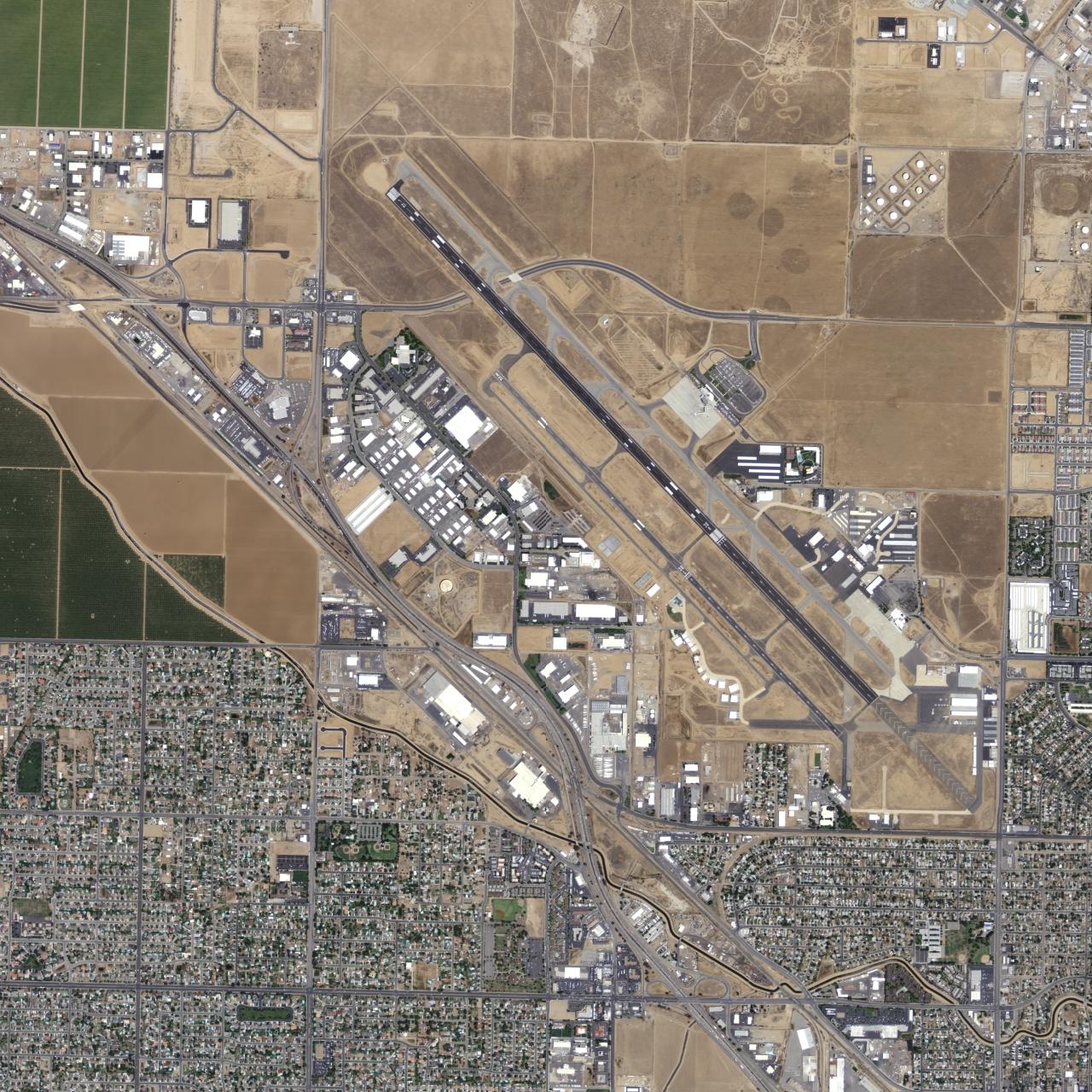
PHOTO: U.S. Geological Survey via Wikimedia Commons; public domain in the United States. Image unchanged.
How the county changed its analysis
The county’s August response presents a supplemental assessment covering four routes, including Airport Drive south of the site and the northern connection to James Road. Its modeled maximum residential cancer risk rose to 9.68 per million, remaining below the cited significance threshold of 20 per million. Modeled worker risk decreased.
These figures are model estimates, not observed cancer cases. The below-threshold cancer-risk estimate does not establish that every air-quality impact is insignificant.
The comparison establishes that the county responded to the omitted-route concern. It does not establish CARB’s acceptance of that response.
The enforcement questions still to answer
Revised mitigation language calls for a Truck Routing Plan reviewed by the county’s Public Works Traffic Division before final occupancy. It also calls for route signs, distribution of the plan to tenants and users, and controls on site circulation.
For neighbors, implementation matters: which routes ultimately become binding, who monitors compliance, and what happens if trucks take a different path? The adopted conditions and enforcement records will be needed to answer those questions beyond the environmental analysis itself.
Sources and further reading
County final EIR responses: truck-plan revisions (7-53) and supplemental risk analysis (7-64–7-65) ↗
Kern County project page and environmental-review documents ↗
Oildale photo: Antandrus / Wikimedia Commons ↗
Oildale photo license: Creative Commons Attribution-ShareAlike 3.0 ↗
Historical USGS aerial photograph and public-domain details ↗